Monday, March 31, 2008

Band-e Amir - Afghanistan

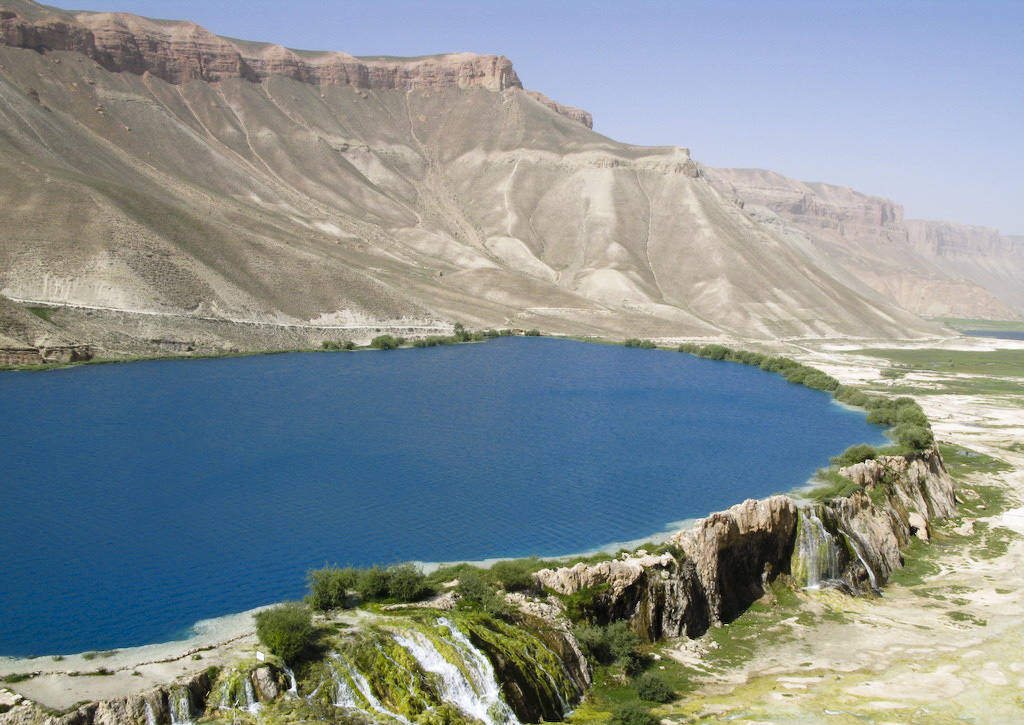
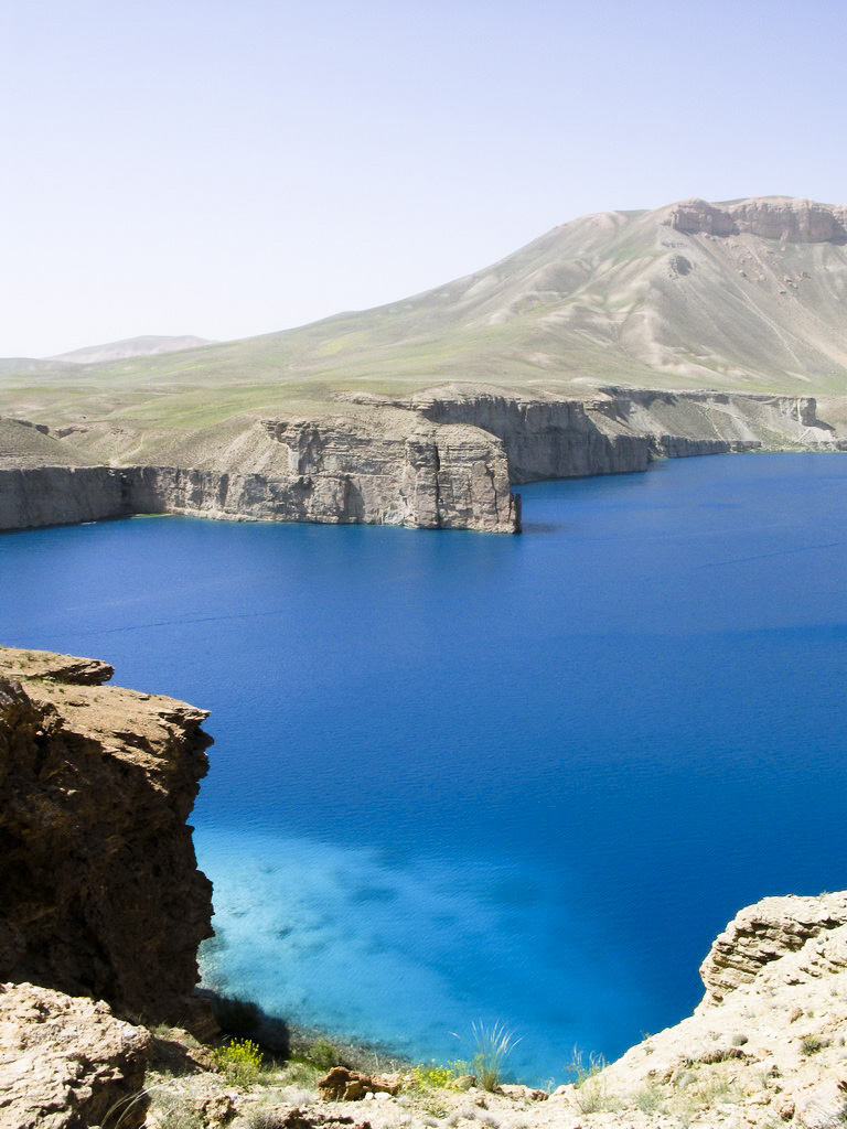
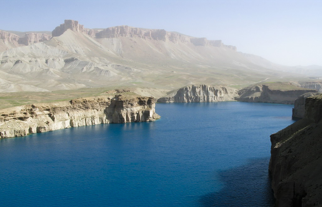
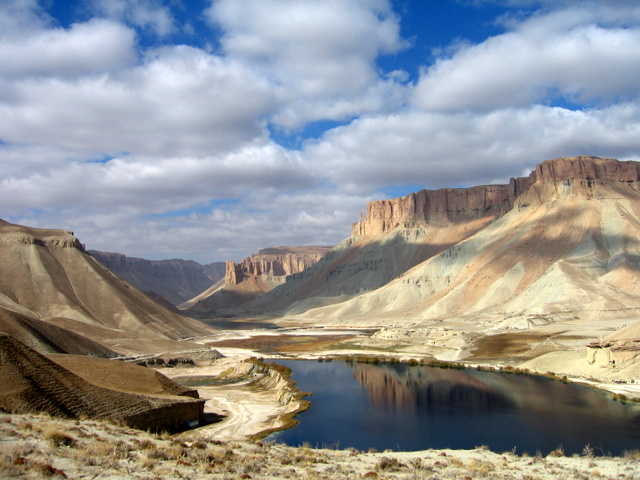
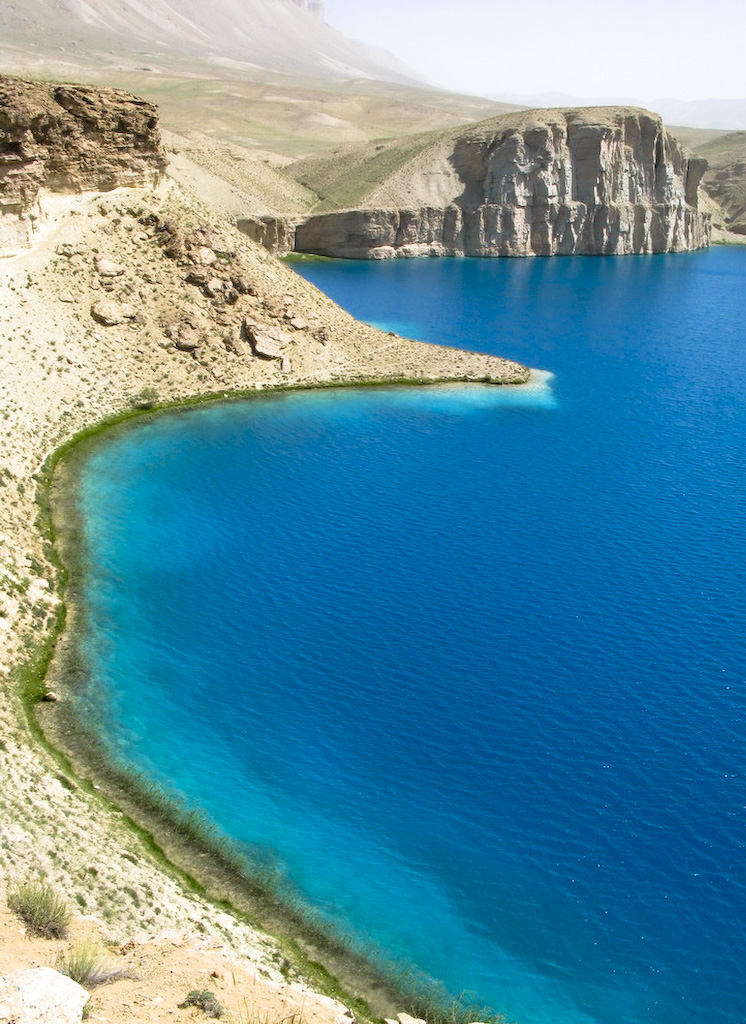
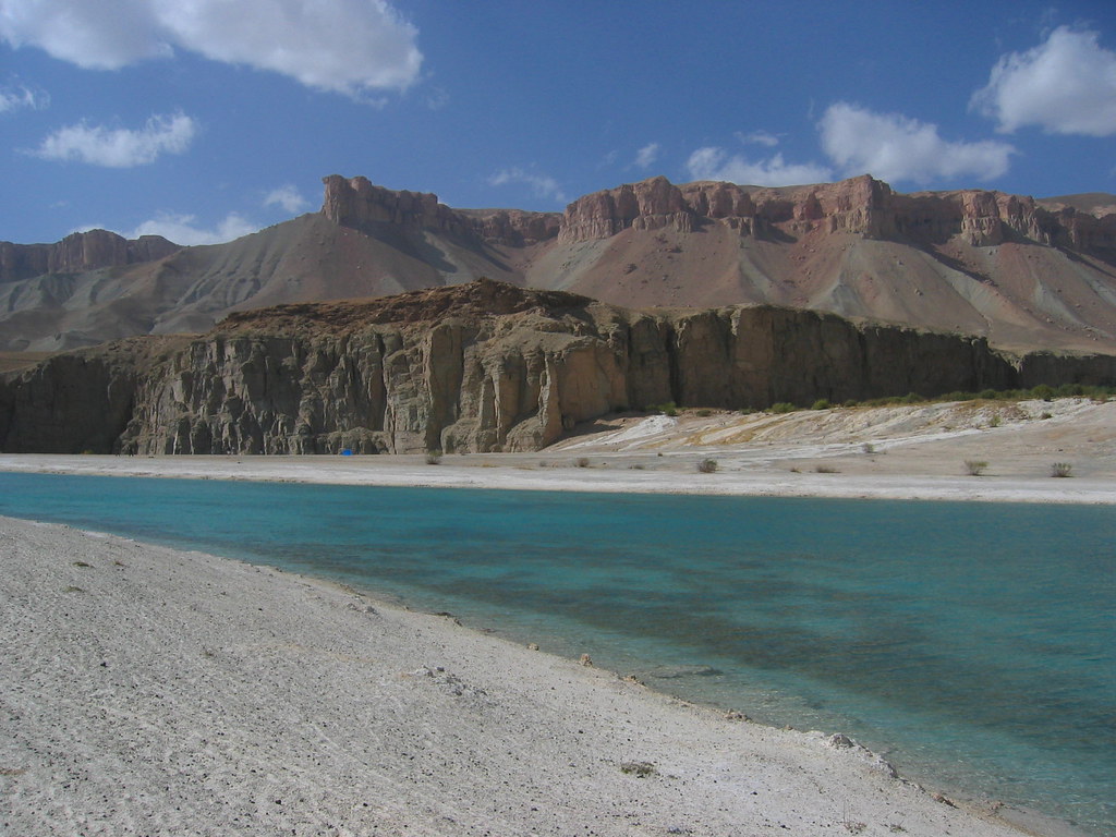
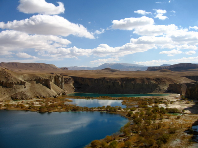
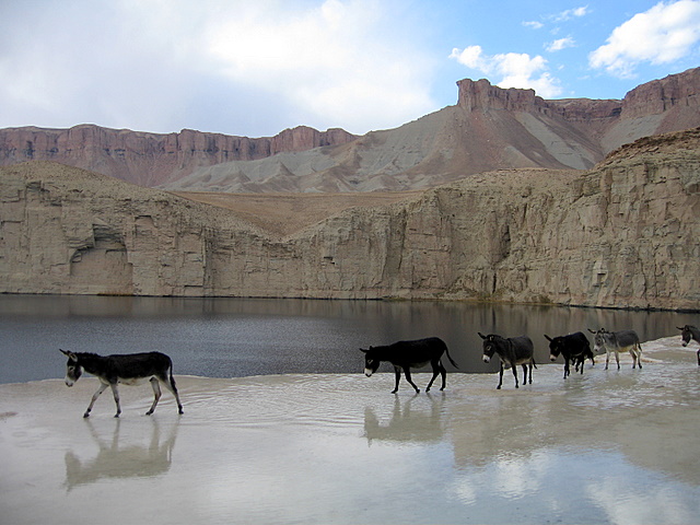
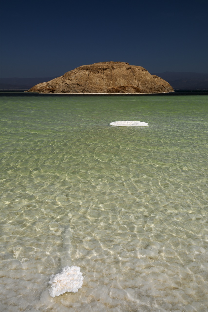
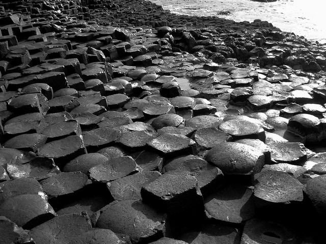
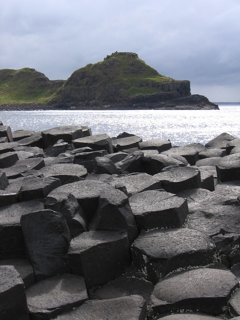
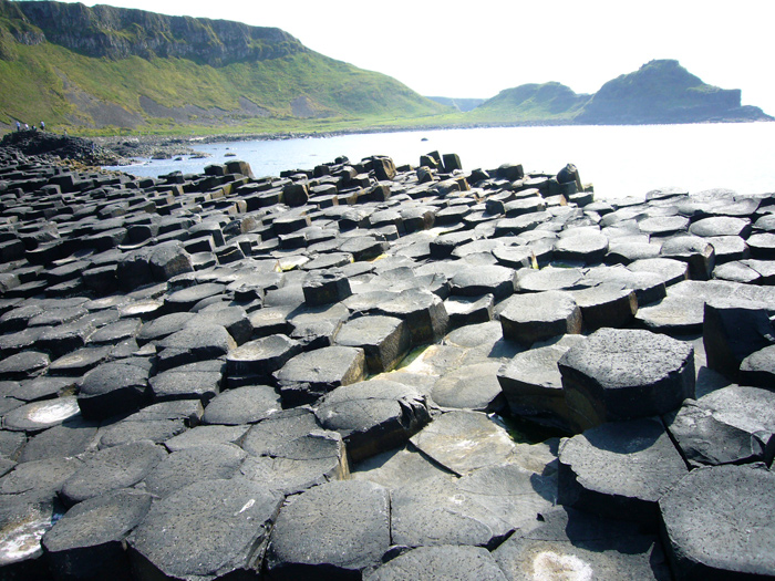
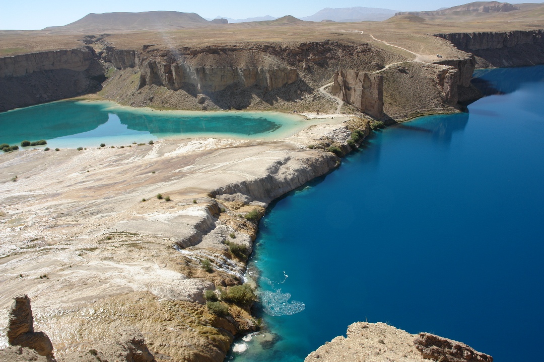
Band-e Amir refers to five lakes high in the Hindu Kush Mountains of Central Afghanistan near the famous Buddhas of Bamyan. They were created by the carbon dioxide rich water oozing out of the faults and fractures to deposit calcium carbonate precipitate in the form of travertine walls that today store the water of these lakes.

Band-e Amir was to become Afghanistan's first national park in the 1960s but thanks to the instability of Kabul government this never happened.

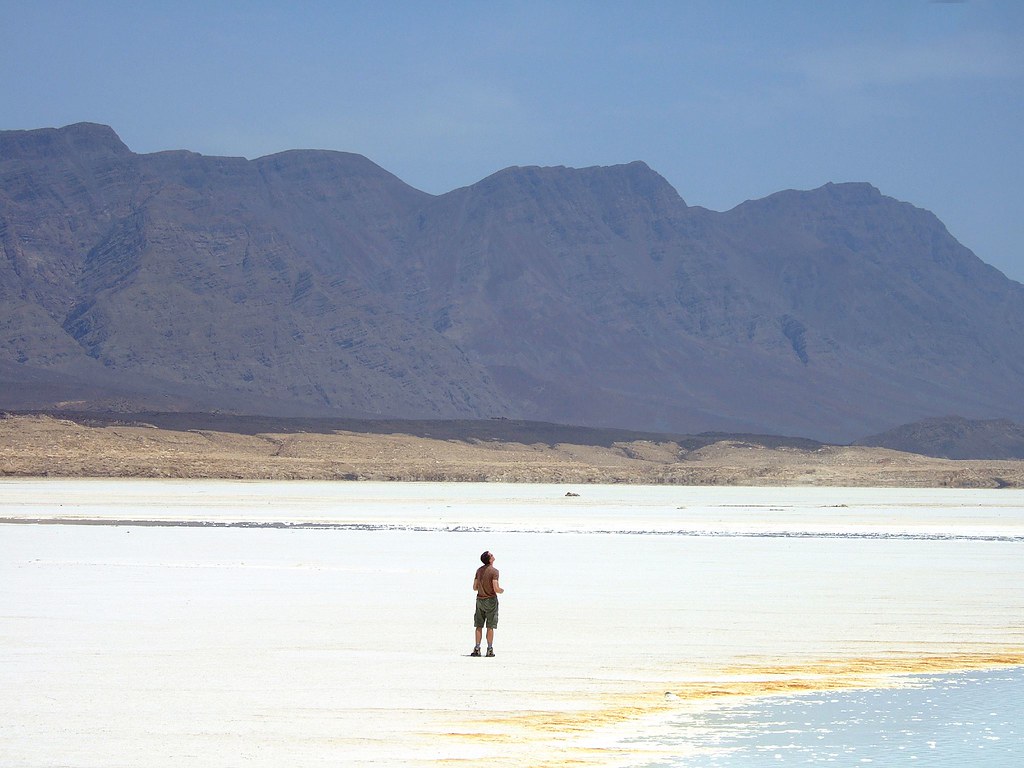
Band-e Amir is situated at approximately 75 kilometers to the north-west of the ancient city of Bamyan, close the town of Yakawlang. Together with Bamyan, they are the heart of Afghanistan's tourism, attracting thousands of tourists every year and from every corner of the world. The five constituents lakes of Band-e Amir are Band-e Gholaman (slaves), Band-e Qambar (Caliph Ali's slave), Band-e Haibat (grandiose), Band-e Panir (cheese), Band-e Pudina (wild mint) and Band-e Zulfiqar (the sword of Ali). Band-e Haibat is the biggest and the deepest of the five with an average depth of approximately 80 meters, as estimated by the PRT diving team from New Zealand. These lakes at these heights are no less than wonders.

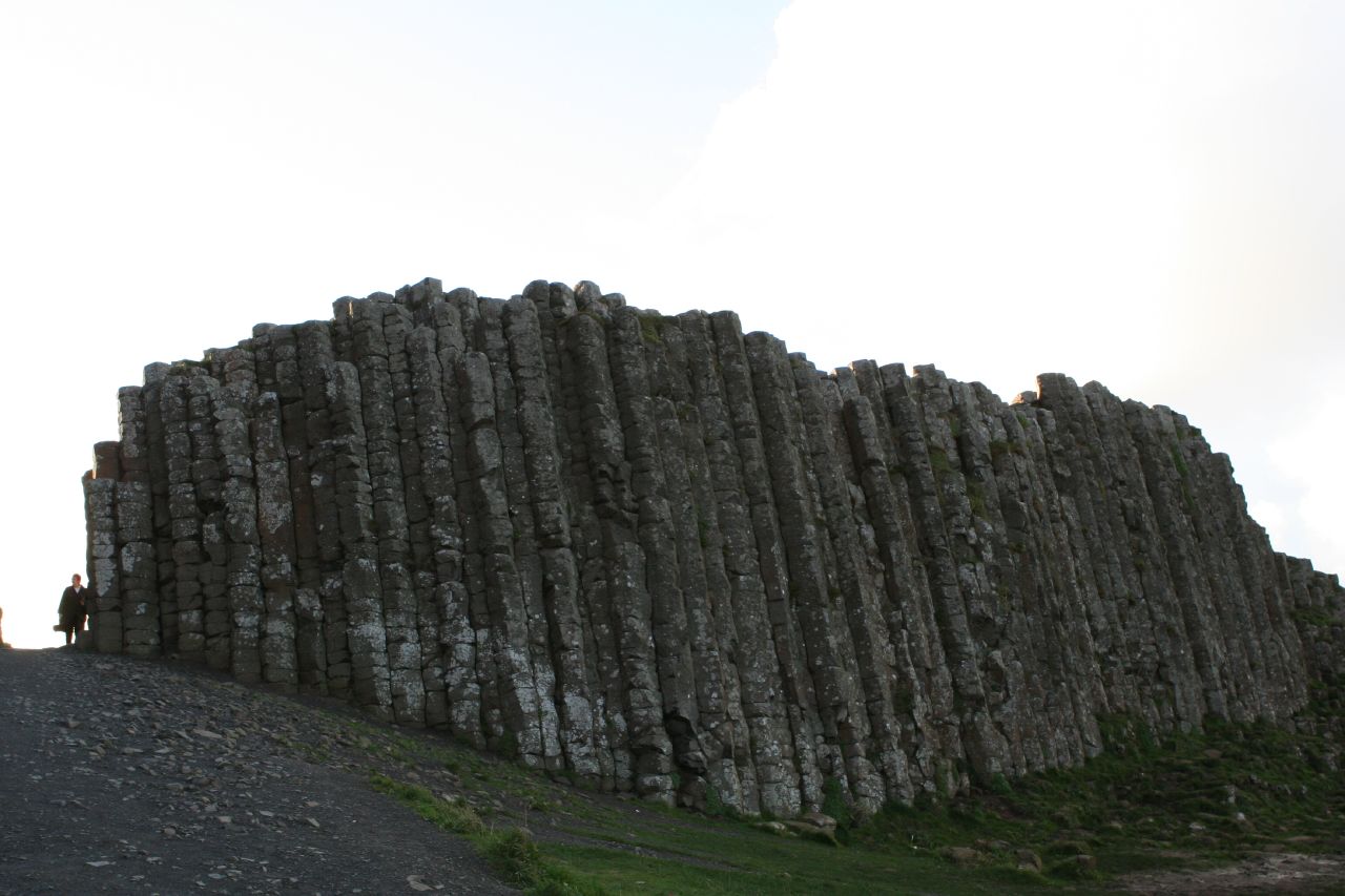
The white travertine dams created by fault lines, which are prevalent in the Band-e Amir Valley, form the barriers between the lakes.

Another resemblant lake is Band-e Azhdar (The Dragon), located a few miles southeast of the town of Bamyan, which has also been created as a result of carbon dioxide rich water oozing out of the faults underground and depositing calcium carbonate precipitate to form the travertine walls of Band-e Amir.

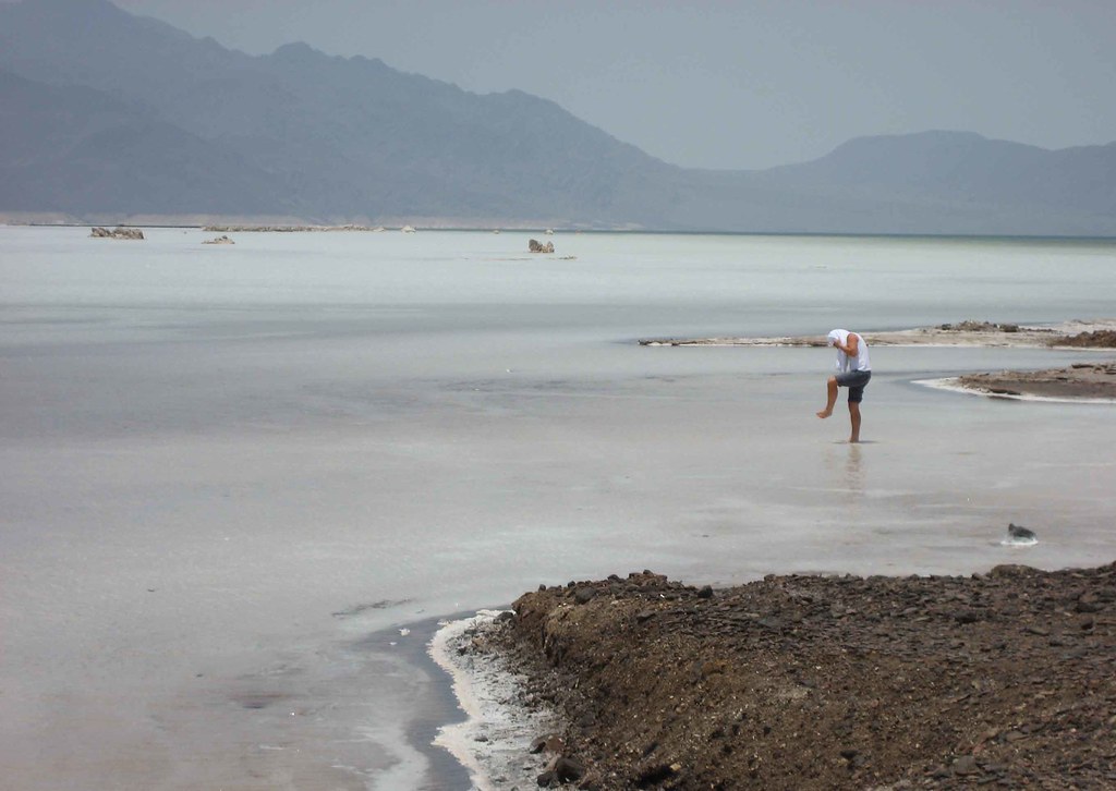
The problems facing the visitors are harsh terrain, rocky plateau, lack of basic facilities and mined unpaved roads. The surrounding roads were heavily mined by the local militias and the Taliban during their respective reigns. Only a thin track is clear from mines and is in use by traffic.

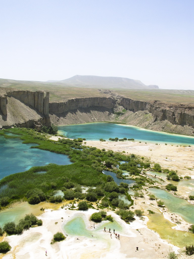
The only available bazaar is a small one situated by the side of Band-e Haibat where most required accessories and tools can be purchased.

Due to the lack of attention and the absence of any maintenance authority, increasing number of visitors pose a threat to the ecological balance of these lakes which include unregulated grazing and uprooting of shrubs which can result in serious soil erosion and even landslides. Fishing using electricity from mobile generators and explosives such as grenades has damaged the aquatic ecosystem. Due to lack of funding for waste management, human waste and trash has led to increasing pollution.

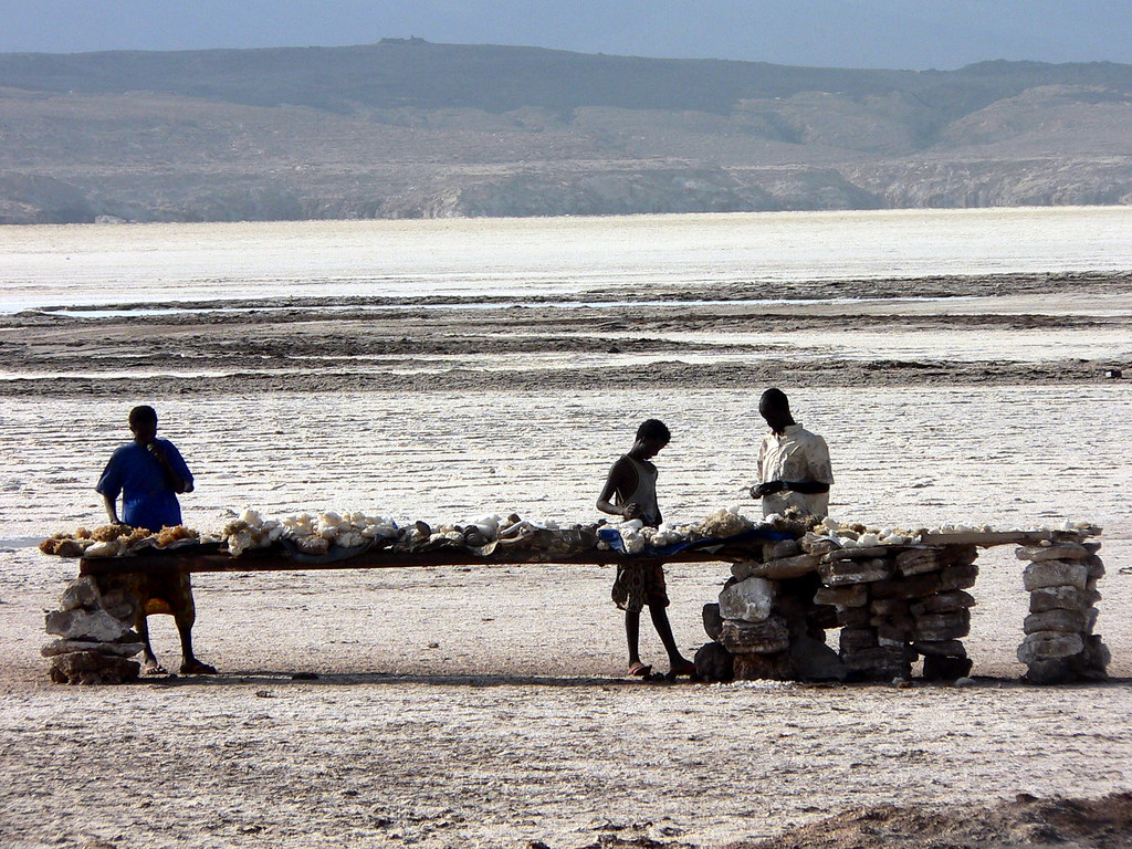
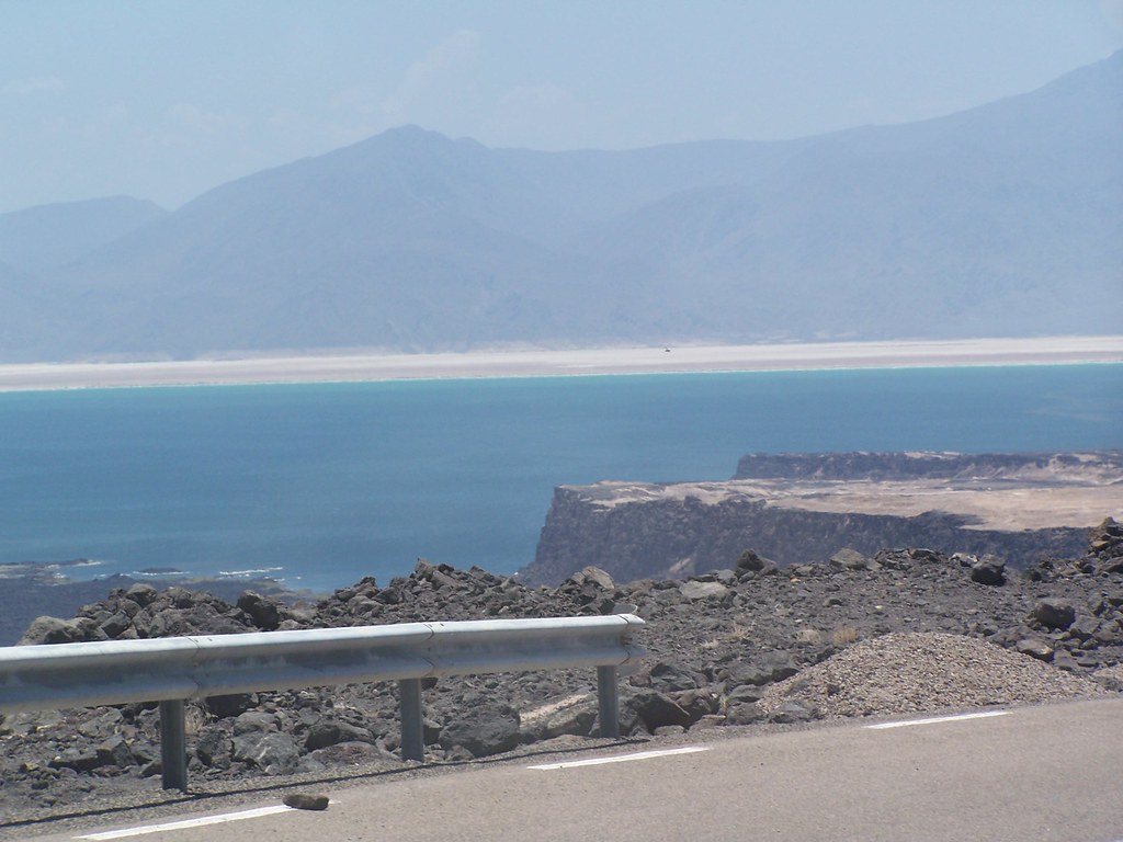
credited to wikipedia and flickr: wesolson, stano szenczi, feryaruon, chiels, nicwa, max.la.menace, khwajamasoom

Sunday, March 30, 2008

Study shows life was tough for ancient Egyptians

CAIRO, Mar. 30, 2008 (Reuters) — New evidence of a sick, deprived population working under harsh conditions contradicts earlier images of wealth and abundance from the art records of the ancient Egyptian city of Tell el-Amarna, a study has found.

Tell el-Amarna was briefly the capital of ancient Egypt during the reign of the pharaoh Akhenaten, who abandoned most of Egypt's old gods in favor of the Aten sun disk and brought in a new and more expressive style of art.

Akhenaten, who ruled Egypt between 1379 and 1362 BC, built and lived in Tell el-Amarna in central Egypt for 15 years. The city was largely abandoned shortly after his death and the ascendance of the famous boy king Tutankhamun to the throne.

Studies on the remains of ordinary ancient Egyptians in a cemetery in Tell el-Amarna showed that many of them suffered from anemia, fractured bones, stunted growth and high juvenile mortality rates, according to professors Barry Kemp and Jerome Rose, who led the research.

Rose, a professor of anthropology in the University of Arkansas in the United States, said adults buried in the cemetery were probably brought there from other parts of Egypt.

"This means that we have a period of deprivation in Egypt prior to the Amarna phase," he told an audience of archaeologists and Egyptologists in Cairo on Thursday evening.

"So maybe things were not so good for the average Egyptian and maybe Akhenaten said we have to change to make things better," he said.

Kemp, director of the Amarna Project which seeks in part to increase public knowledge of Tell el-Amarna and surrounding region, said little attention has been given to the cemeteries of ordinary ancient Egyptians.

"A very large number of ordinary cemeteries have been excavated but just for the objects and very little attention has been paid for the human remain," he told Reuters.

"The idea of treating the human remains ... to study the overall health of the population is relatively new."

Paintings in the tombs of the nobles show an abundance of offerings, but the remains of ordinary people tell a different story.

Rose displayed pictures showing spinal injuries among teenagers, probably because of accidents during construction work to build the city.

The study showed that anemia ran at 74 percent among children and teenagers, and at 44 percent among adults, Rose said. The average height of men was 159 cm (5 feet 2 inches) and 153 cm among women.

"Adult heights are used as a proxy for overall standard of living," he said. "Short statures reflect a diet deficient in protein. ... People were not growing to their full potential."

Kemp said he believed further excavations in Tell el-Amarna would "firm-up" the conclusions of his team.

"We are seeing a more realistic picture of what life was like," he told Reuters. "It has nothing to do with the intentions of Akhenaten, which may have been good and paternal toward his people."

credited to reuters

Lake Assal - Djibouti

Lake Asal (Lake Assal) is a crater lake in central Djibouti, located at the southern border of Tadjoura Region, touching Dikhil Region. It lies 153 m (502 ft) below sea level in the Afar Depression and is the lowest point in Africa. It measures 10 by 7 km and has an area of 54 km². The mean depth is 7.4 meters, which makes for a water volume of 400 million m³. The catchment area measures 900 km². It is surrounded by a salt pan (extending west and mainly northwest). The salt is mined and transported by caravan to Ethiopia.

Lake Asal is the most saline body of water on earth, with 34.8 percent more salt than the Dead Sea (at a depth of 20 meters, as much as 39.8 percent has been measured). The sources of the lake are subsurface springs, which are fed by the Gulf of Tadjoura (Golfe de Tadjoura), the eastern extension of the Gulf of Aden, specifically the nearly closed-off bay Ghoubet Kharab, about 10 km southeast of the lake.

credited to wikipedia and flickr users: sgilpin80, Fi's space, Eric Laforgue, Elizabeth C, twodivedeep, Grete Howard, Carpe Feline, laparisienneavelo, wgenec

Friday, March 28, 2008

Giant's Causeway - United Kingdom

The Giant's Causeway (or Irish: Clochán na bhFómharach) is an area of about 40,000 interlocking basalt columns, the result of an ancient volcanic eruption. It is located on the north-east coast of Northern Ireland, about two miles (3 km) north of the town of Bushmills. It was declared a World Heritage Site by UNESCO in 1986, and a National Nature Reserve in 1987 by the Department of the Environment for Northern Ireland. In a 2005 poll of Radio Times readers, the Giant's Causeway was named as the fourth greatest natural wonder in the United Kingdom. The tops of the columns form stepping stones that lead from the cliff foot and disappear under the sea. Most of the columns are hexagonal, although there are also some with four, five, seven and eight sides. The tallest are about 12 metres (36 ft) high, and the solidified lava in the cliffs is 28 metres thick in places.

The Giant's Causeway is today owned and managed by the National Trust and it is the most popular tourist attraction in Northern Ireland.

During the Paleogene period, Antrim was subject to intense volcanic activity, when highly fluid molten basalt intruded through chalk beds to form an extensive lava plateau. As the lava cooled rapidly, contraction occurred. While contraction in the vertical direction reduced the flow thickness (without fracturing), horizontal contraction could only be accommodated by cracking throughout the flow. The extensive fracture network produced the distinctive columns seen today. The basalts were originally part of a great volcanic plateau called the Thulean Plateau which formed during the Paleogene period.

Legend has it that the Irish giant Fionn mac Cumhaill (Finn McCool) built the causeway to walk to Scotland to fight his Scottish counterpart Benandonner. One version of the legend tells that Fionn fell asleep before he got to Scotland. When he did not arrive, the much larger Benandonner crossed the bridge looking for him. To protect Fionn, his wife Oonagh laid a blanket over him so he could pretend that he was actually their baby son. In a variation, Fionn fled after seeing Benandonner's great bulk, and asked his wife to disguise him as the baby. In both versions, when Benandonner saw the size of the 'infant', he assumed the alleged father, Fionn, must be gigantic indeed. Therefore, Benandonner fled home in terror, ripping up the Causeway in case he was followed by Fionn.

Another variation is that Oonagh painted a rock shaped like a steak and gave it to Benandonner, whilst giving the baby (Fionn) a normal steak. When Benandonner saw that the baby was able to eat it so easily, he ran away, tearing up the causeway.

The "causeway" legend corresponds with geological history in as much as there are similar basalt formations (a part of the same ancient lava flow) at the site of Fingal's Cave on the isle of Staffa in Scotland.

credited to wikipedia and flickr users: digitalEnvironmentalist, jenschmen, Luca Graziani, judge dredd76, vox o'malley, velvet midnight, amarsano, will s., keithmaguire, just michelle, horitzons inesperats, migi328