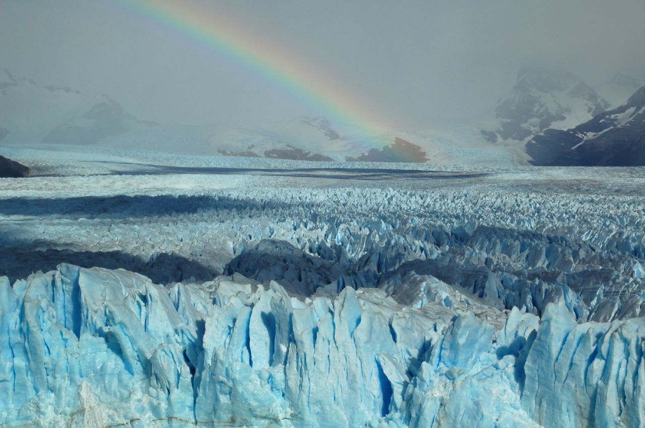
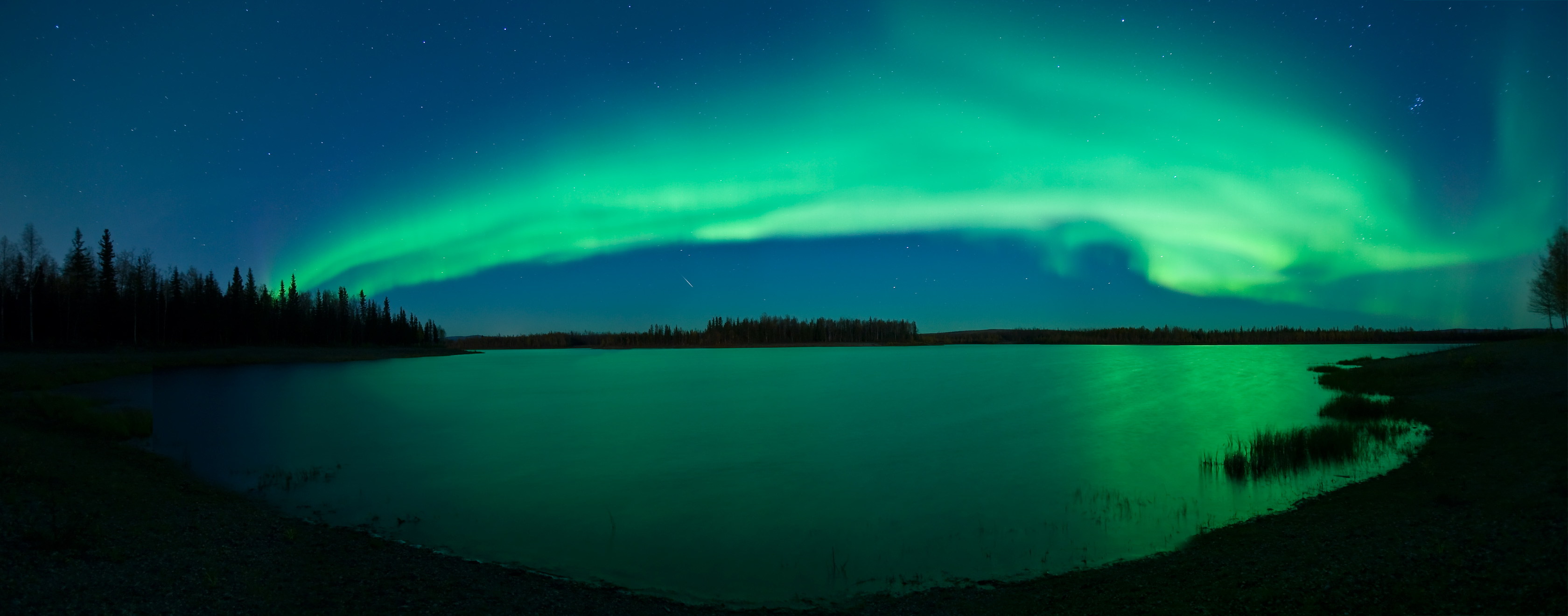
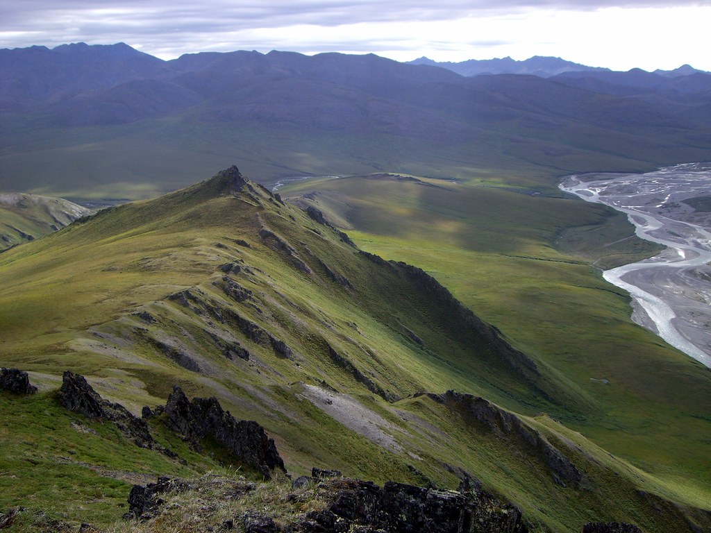
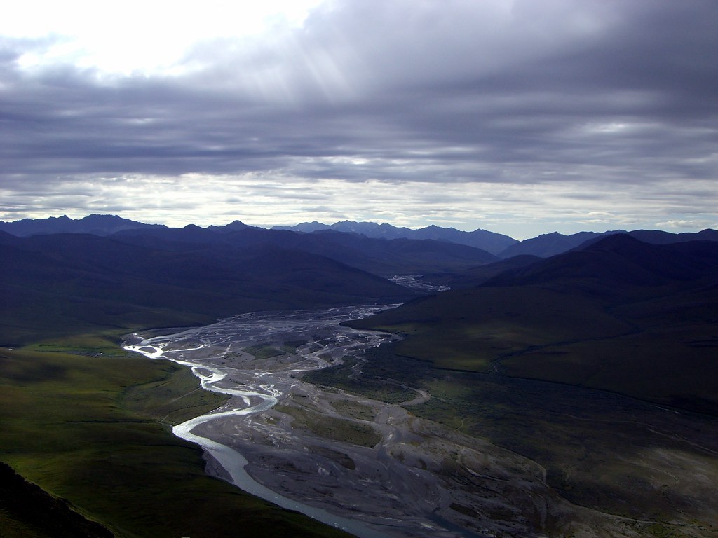
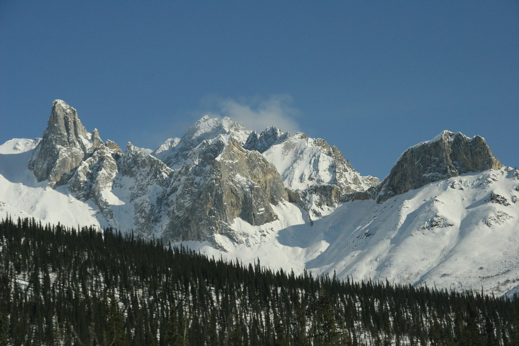
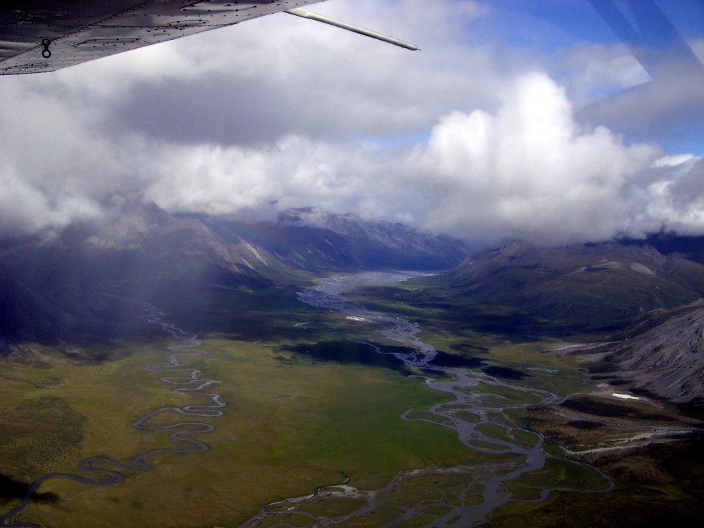
 The Brooks Range is a mountain range that stretches from west to east across northern Alaska and into Canada's Yukon Territory, a total distance of about 1100 km (700 mi). The mountains are not especially high, topping out at over 2,700 m (9,000 ft). This mountain range forms the northern-most drainage divide in North America, separating streams flowing into the Arctic Ocean and the North Pacific. The range roughly delineates the summer position of the Arctic front. It represents the northern extent of tree line, with no trees (apart from some isolated Balsam poplar stands) occurring north of the continental drainage divide. Mount Chamberlin, 9020 ft (2,749 m), is the highest peak in the range. Other notable peaks include Mount Isto, 8,975 ft (2,736 m) and Mount Michelson, 8,855 ft (2,699 m).
The range is mostly uninhabited, but the Dalton Highway and the Trans-Alaska Pipeline System run through the Atigun Pass (1,415 m, 4,643 ft) on their way to the North Slope and the oil fields at Prudhoe Bay. The Alaska Native villages of Anaktuvuk and Arctic Village, as well as the very small communities of Coldfoot, Wiseman, Bettles, and Chandalar Lake are the only settlements in the 700-mile Brooks Range. In the far west, near the Wulik River in the De Long Mountains is the Red Dog Mine, Alaska, largest zinc mine in the world.
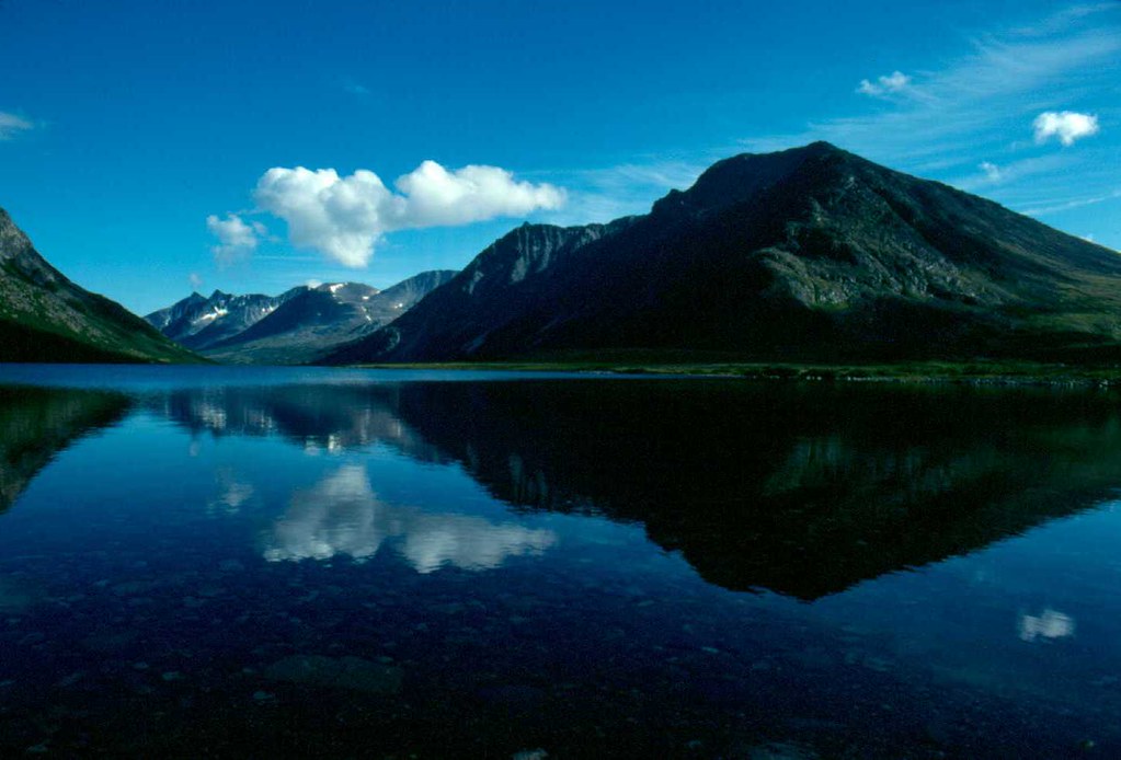
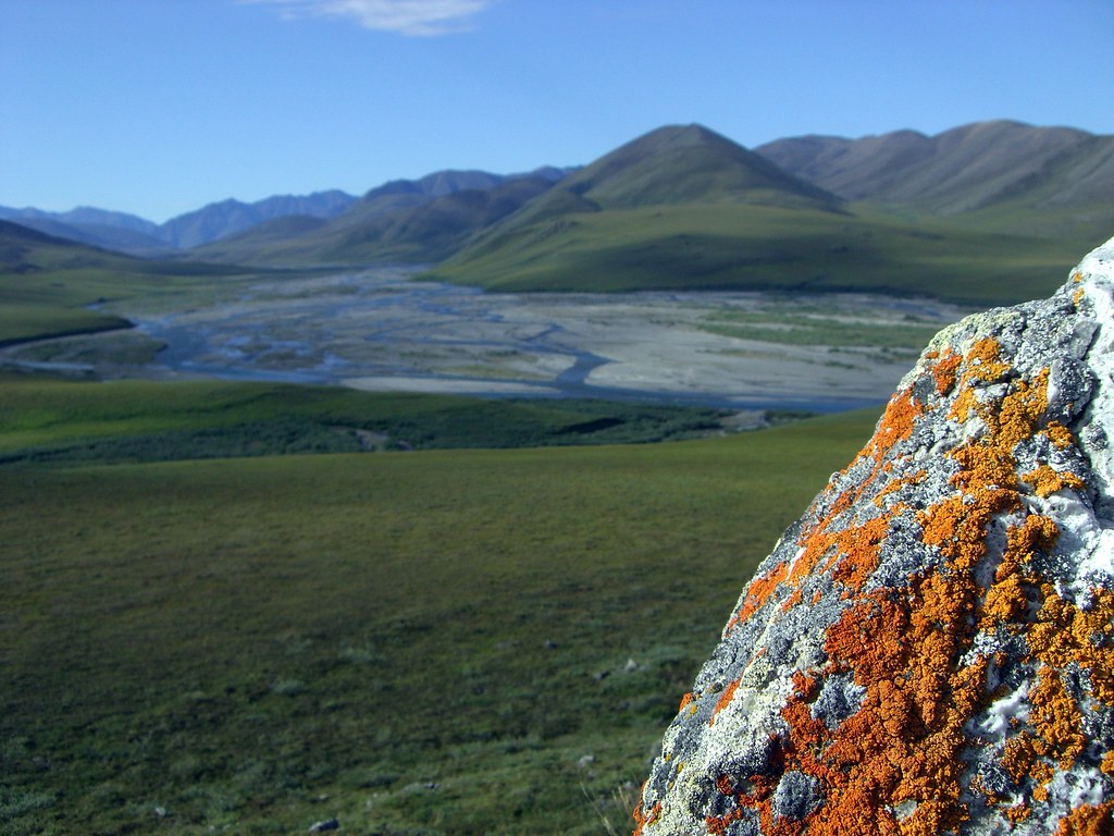
As one of the most remote and least-disturbed wildernesses of North America, the mountains are teeming with wildlife, including Dall sheep, grizzly bears, and caribou.
The range was named by the USGS in 1925 after Alfred Hulse Brooks, who was the chief USGS geologist for Alaska from 1903 to 1924.
Various historical records also referred to the range as the Arctic Mountains, Hooper Mountains, Meade Mountains and Meade River Mountains; the Canadian portion is still often referred to as the British Mountains. The British Mountains are part of Ivvavik National Park.
Documented Wilderness Traverses of the Brooks Range


Documented Wilderness Traverses of the Brooks Range
- Dick Griffith -- Kaktovik to Kotzebue, Alaska (1959-1979) by foot, raft, and kayak: first documented traverse.
- Roman Dial -- Kaktovik to Kotzebue, Alaska (1986) by skis, foot, packraft and kayak: first traverse in one year.
- Keith Nyitray -- Fort McPherson, Northwest Territories, Canada to Kotzebue (1989-1990) by dog sled, snowshoes, foot, raft, and canoe: first continuous traverse of the entire range. 1,500 trail miles from Canada to Kotzebue. See April '93 issue of "National Geographic."
- Thor Tingey, Phillip Weidner, Sam Newburry, Dan Dryden -- Marsh Fork Canning River to Kobuk (2000) by foot and packraft.
- Dennis Schmitt -- Point Hope, Alaska to Mackenzie River, Northwest Territories (1966-2001) by foot and dog sled: longest and first full length traverse.
- Peter Vacco -- Bonnet Lake to Cape Lisburne (2003) by snowshoe and foot: first continuous foot traverse from Canada.
- Roman Dial -- Kivalina to Dalton Highway without resupply (2006) by foot: fastest traverse (624 miles in 22 days, 7 hours, 40 minutes).
- Bruce Nelson -- Yukon border to Kotzebue Sound (2006) by foot and raft.
- The range is believed to be approximately 126 million years old.