Showing posts with label Bolivia. Show all posts

Tuesday, April 22, 2008

Lake Titicaca - Peru, Bolivia

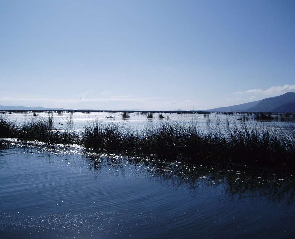
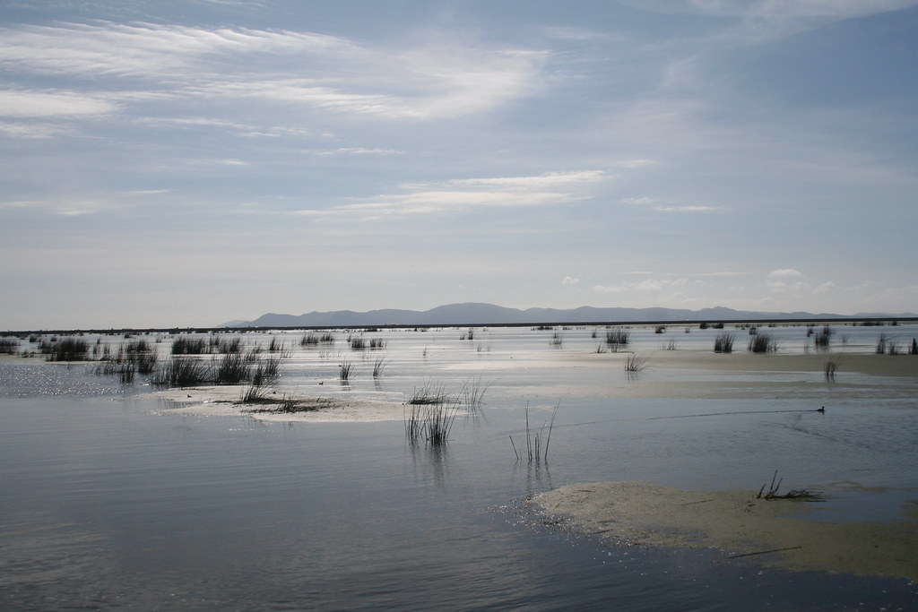
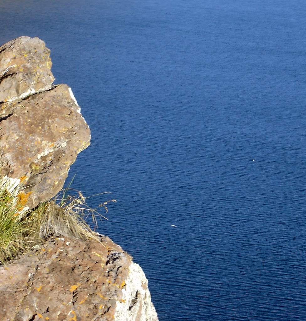
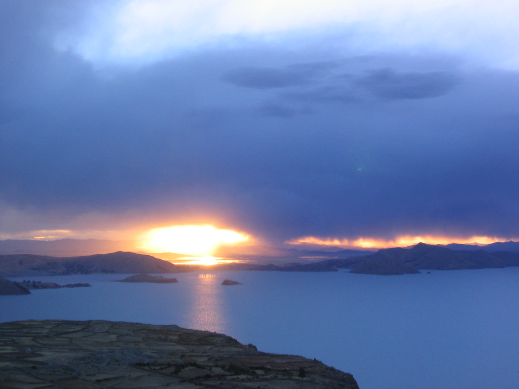
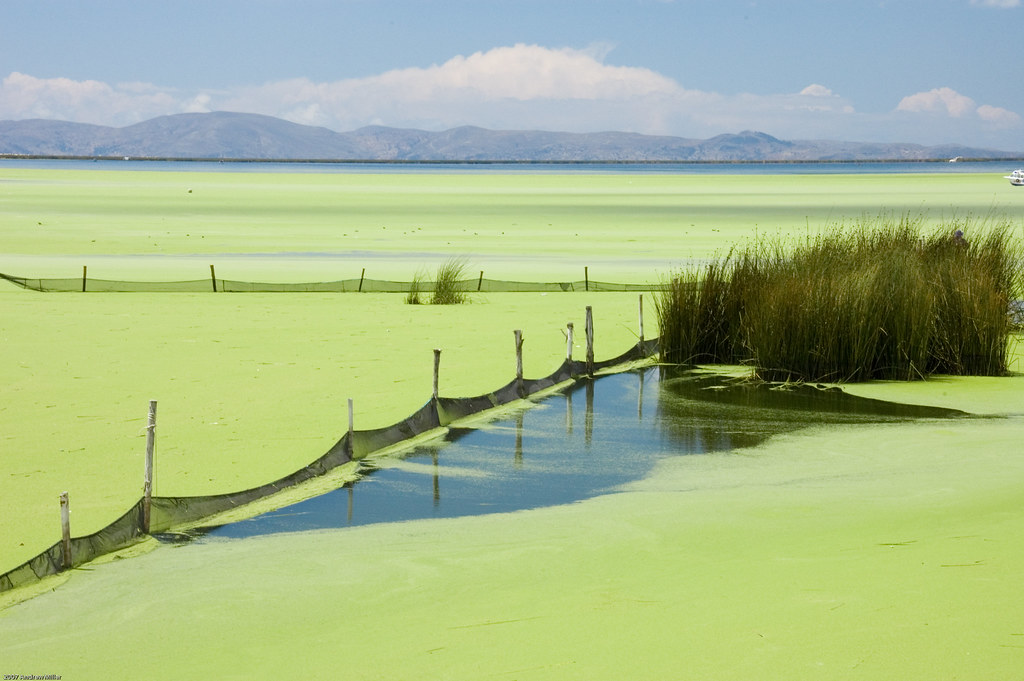
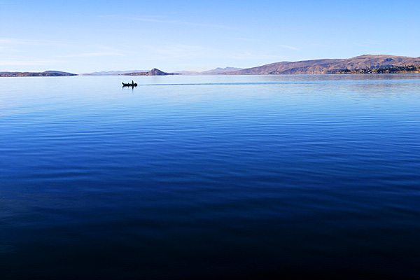
Lake Titicaca is a lake located on the border of Bolivia and Peru. It sits 3,812 m (12,507 ft) above sea level making it the highest commercially navigable lake in the world. By volume of water it is also the largest lake in South America.

The lake is located at the northern end of the endorheic Altiplano basin high in the Andes on the border of Peru and Bolivia. The western part of the lake lies within the Puno Region of Peru, and the eastern side is located in the Bolivian La Paz Department.

The lake is composed of two nearly separate sub-basins that are connected by the Strait of Tiquina which is 800 m (2,620 ft) across at the narrowest point. The larger sub-basin, Lago Grande (also called Lago Chucuito) has a mean depth of 135 m (443 ft) and a maximum depth of 284 m (932 ft). The smaller sub-basin, Lago Huiñaimarca (also called Lago Pequeño) has a mean depth of 9 m (30 ft) and a maximum depth of 40 m (131 ft). The overall average depth of the lake is 107 m (351 ft).

Lake Titicaca is fed by rainfall and meltwater from glaciers on the sierras that abut the Altiplano. Five major river systems feed into Lake Titicaca—in order of their relative flow volumes these are: Ramis, Coata, Ilave, Huancané, and Suchez. More than 20 other smaller rivers empty into Titicaca, and the lake has 41 islands, some of which are densely populated.

Having only a single season of free circulation, the lake is monomictic and water passes through Lago Huiñaimarca and flows out the single outlet at the Rio Desaguadero, which then flows south through Bolivia to Lake Poopó. This only accounts for about 10% of the lake's water balance. Evapotranspiration, caused by strong winds and intense sunlight at altitude, balances the remaining 90% of the water input. It is nearly a closed lake.

The origin of the name Titicaca is unknown. It has been translated as "Rock Puma", allegedly because of its resemblance to the shape of a puma hunting a rabbit, combining words from the local languages Quechua and Aymara, and as well as translated as "Crag of Lead." Locally, the lake goes by several names. Because the southeast quarter of the lake is separate from the main body (connected only by the Strait of Tiquina), the Bolivians call it Lago Huiñaymarca (Quechua: Wiñay Marka) and the larger part Lago Chucuito. In Peru, these smaller and larger parts are referred to as Lago Pequeño and Lago Grande, respectively.

credited to wikipedia and flickr users: elisharenne, Jim Shannon, abmiller99, Phillie Casablanca, Diva wannabe2003, robduncan11, andy961, Sam Judson, stephenk1977, keatssycamore, toonsarah

Thursday, April 3, 2008

Salar de Uyuni - Bolivia

Salar de Uyuni is located between parallels 20° and 21° South latitudes and 68° West longitude. It holds an estimated total reserve of 9 million tons of lithium as well as other evaporative minerals. The Salt Lake is formed in a series of stratum-saline layers, most of which are highly pure and with an approximate depth of 6 meters each. It was caused 13,000 years ago by the disappearance of an inland ocean that covered most of what is now known as the Altiplano and which extended all the way to Titicaca Lake. In the middle of this large extension of salt, there appears what seem to be two “eyes”. These are basically two holes, each 10 to 15 centimeters in diameter and 120 meters in depth. Patches of Tussock Grass are scattered throughout the area and in places of a bit higher humidity, one can find “Tholares” scrubland and “Keñuas” dwarf trees. It is an extraordinary experience to cross the salt lake by car, especially during the winter. During that time the sky is completely clear and the bright blue contrasts brilliantly with the white of the salt. On rare cloudy days, there is a white-out effect. The horizon blends with the sky in such a way that one can hardly tell where the lake ends and the heavens begin. Also, amid this shiny white desert there are idle, polyhedral figures formed by nature that seem to rise up mysteriously from the ground.

The islands located in the center of the Salar are also attractions for visitors to marvel at. Cujiri Island, better known as Fish Island, is situated 74 kilometers from Colchani in the exact middle of the salt expanse. It has a total extension of 100 hectares and provides beautifully picturesque scenery. The layers of granite and fossil have yielded a strange breed of giant cactus, 6 meters in height, which have developed from this interesting ecological system. On the island’s summit there is a cave in which the walls present a geological cut providing information about the various ground layers. The view from the mouth of the cave is perhaps one of the best sites to take wonderful photos of the island and of the salt lake as well.

The Incahuasi Island, known as the Fisherman’s Island, was formed on top of the remains of a volcano and rises 150 meters above the surface of the salt lake. Upon this island, there are archeological sites that remain from the Tiwanaku and Inca cultures along with 30 caves, 12 natural tunnels and a cacti forest. One can find a variety of plant life including wankara, pasakana, llawsa, ayrampu, sankallu, puscallu and an assortment of useful plants like thulo, huajraguaya, añaquaya, etc. Alfredo Lazaro, a resident Aymara from Llica, has been living on the island since 1987 as a protector of this natural wonder. He has personally counted 4030 types of mature cacti, 5000 cacti which are still developing and 16 which are either burnt or dry. The island is also a nesting ground to many species of birds and to viscocha, an American species of rodent, similar in size and form to gophers. This island is the perfect place to contemplate an amazing sunset and to take exceptional pictures.

credited to flickr users: szeke, carlescerulla, twellsingtol, alix & gerard, odradek78, Daniela de Moraes, stephenk1977, LeoKoolhoven, South Spirit Proyect, untermensch