A beach vacation usually conjures up images of lying on white sand relaxing not dicing with death but Forbes.com has come up with a list of the world's most dangerous beaches.
Strong currents and deadly jellyfish are among the dangers that spring to mind but the biggest fear is sharks, according to Stephen P. Leatherman of the International Hurricane Research Center & Laboratory for Coastal Research in Miami.
"But in reality, you've got a better chance at winning the lottery than getting bitten," he told Forbes.com, adding that there were only 112 incidents globally of shark bites in 2007.
Following is a list of the most dangerous beaches by category which was prepared by Forbes.com and focuses mainly on the United States.
 1. Shark Attacks/Bites
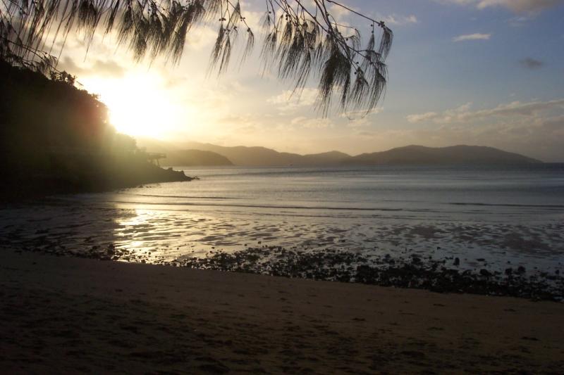
New Smyrna Beach, Volusia County, Florida.
The were 112 incidents of shark-human "contact" in 2007, according to the International Shark Attack File released in March but only one resulted in a human fatality. New Smyrna, an inlet on the eastern coastline of Florida, had the most attacks, with 17 bites recorded.
 2. Pollution
Hacks Point Beach, Kent County, Md./Beachwood Beach West, Ocean County, N.J.
According to the National Research Defense Council, an environmental action group, these two beaches had the highest percentage of samples exceeding U.S. health standards in 2006.
 3. Jellyfish Attacks
Northern Australia
The coast of Northern Australia serves as a home to chironex fleckeri, also known as the box jellyfish, which has caused 60 deaths in the last 100 years, according the Center for Disease Control, Australia. While fatalities are rare, about 40 people are hospitalized each year in the Northern Territory. Last year, a 6-year-old boy died in the Tiwi Islands, north of Darwin.
 4. Lightning
Florida
Florida tops off the list as the most dangerous spot for lightning, according to the National Oceanic and Atmospheric Administration. Between 1997 and 2006, there were 71 deaths caused by lightning in Florida, more than any other state. Popular beaches such as New Smyrna and Clearwater are often evacuated and then closed for days because of the threat of lightning.
 5. Boating Accidents
Florida
Data by county or beach is not available, but according to the U.S. Coast Guard's Boating Safety Division, the state of Florida reported 633 boating accidents and 68 fatalities in 2006, the highest number of any state in the country with more people actively involved in boating in Florida.
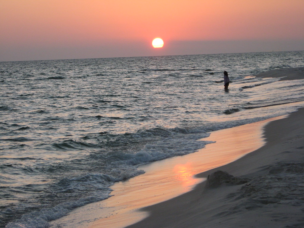
 6. Rip Current Drowning
Brevard County, Florida
In 2007, 10 people drowned in Brevard County due to the rip current alone, according to the United States Life Saving Association.
credited to reuters.com, forbes.com and flickr users: nsbbum1, kerrie radtke, coco21, rustyalaska
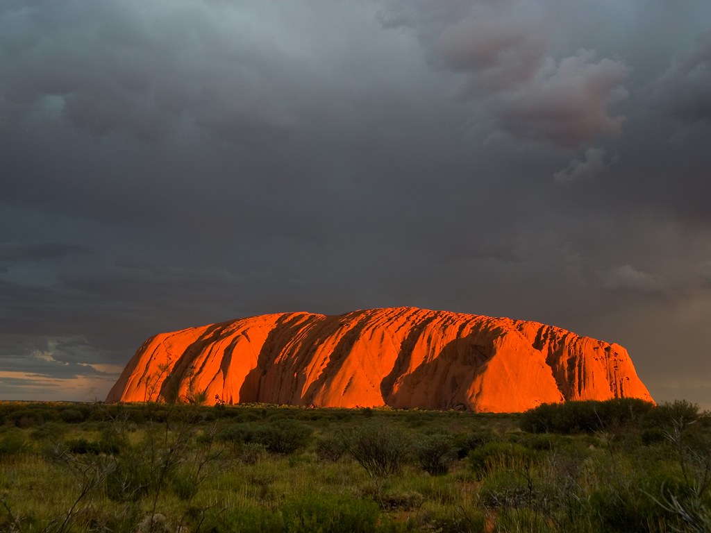
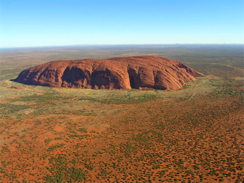
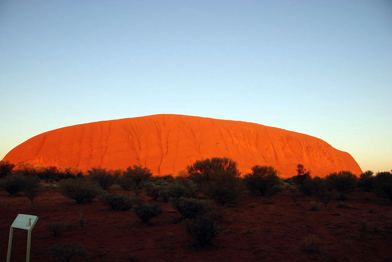
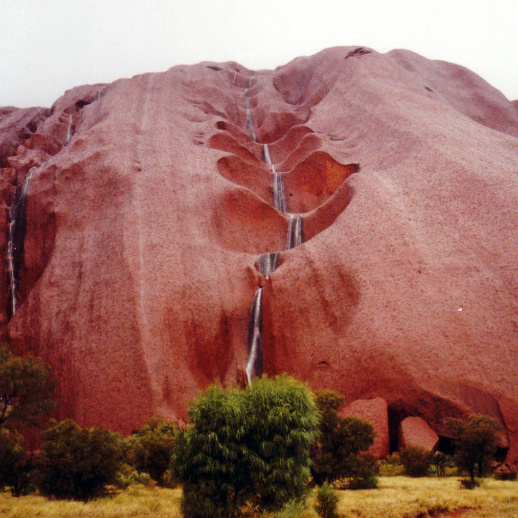
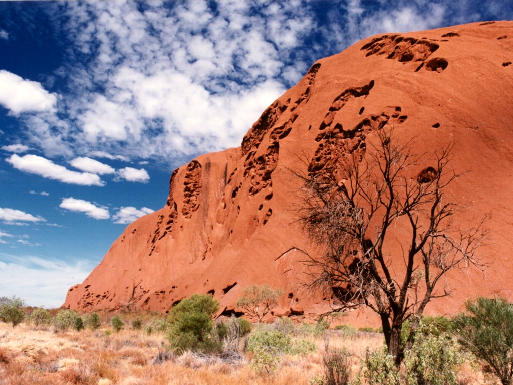
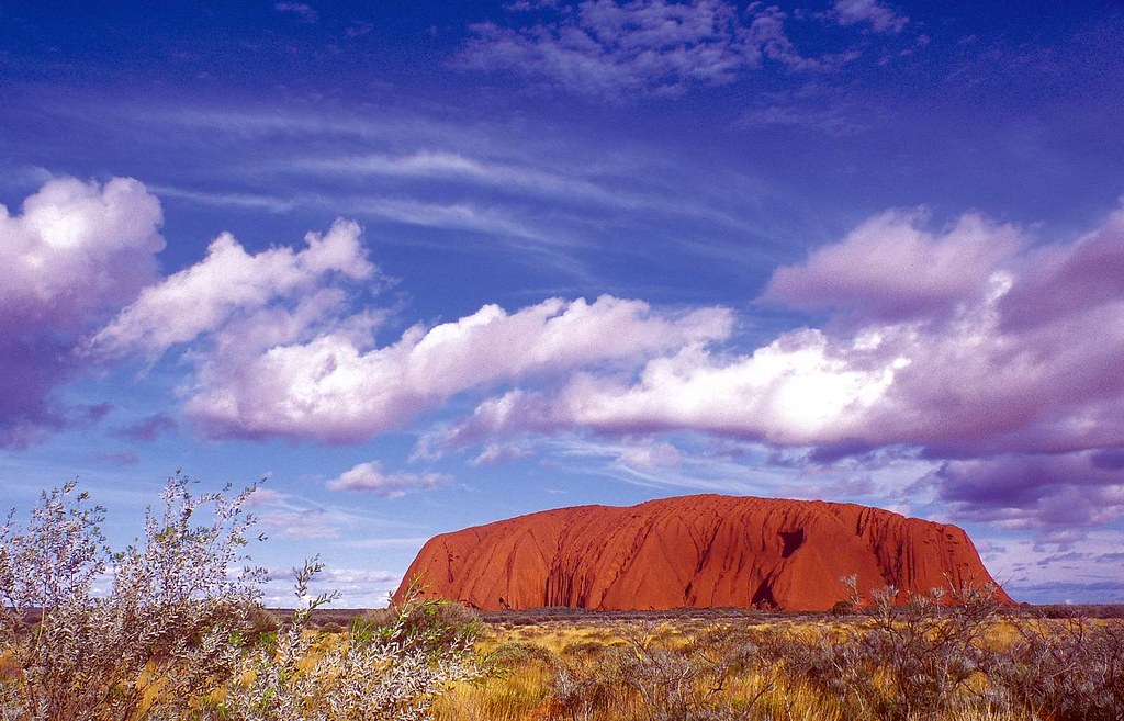 Uluru, also referred to as Ayers Rock, is a large sandstone rock formation in the southern part of the Northern Territory, central Australia. It lies 335 km (208 mi) south west of the nearest large town, Alice Springs; 450 km (280 mi) by road. Kata Tjuta (The Olgas) and Uluru are the two major features of the Uluru - Kata Tjuta National Park. Uluru is sacred to the Pitjantjatjara and Yankunytjatjara, the Aboriginal people of the area. It has many springs, waterholes, rock caves and ancient paintings. Uluru is listed as a World Heritage Site.